Understanding the margins of Thwaites Glacier: TIME Project Overview
- studyearth
- Dec 30, 2018
- 3 min read
As you know, we are here in Antarctica as part of the International Thwaites Glacier Collaboration (ITGC) Thwaites Interdisciplinary Margin Evolution (TIME) project. TIME is one of 9 NSF and NERC-funded projects that make up the ITGC effort to better understand Thwaites Glacier in West Antarctica -- especially how fast it is melting and how much it could contribute to sea level rise in the future. TIME is particularly focused on the Eastern Shear Margin of Thwaites Glacier, where the ice transitions from fast-moving (>100 m/yr) on Thwaites Glacier to almost stationary off of the glacier.

What kind of data helps us better understand the glacier structure, melt rates, and processes? Many, many different kinds! It is important to study the ocean-ice interactions, ice-ice interactions, and ice-rock interactions and conditions that control the movement and melting of the glacier. My particular expertise is using seismic imaging -- that is, looking at vibrations traveling through rock and ice to determine rock and ice properties such as the speeds of seismic waves (which relate to density and fluid content), where seismic waves reflect and refract, the attenuation of seismic waves, and other material properties of the rock and ice that affect the wave propagation.

To study the Shear Margin of Thwaites, the TIME project includes active-source seismic imaging (uses a man-made source), passive-source seismic recording (listening for non-man-made vibration sources like earthquakes, icequakes, crevasses opening, fluids moving within or beneath the glacier, etc.), radar imaging, GPS monitoring of glacier flow, and several types of ice sheet modeling. The close integration of new field data with computer modeling efforts is expected to lead to exciting results and greatly increase our understanding of this glacier.

The TIME project is a 6-year project, and it is just getting started in 2018. This year we are planning for future field data collection, working with synthetic data to get preliminary results, and running ice sheet computer models. As part of our active seismic planning, the Seismic Source Facility has been testing various possible sources this year to use for our planned 2-D and 3-D seismic surveys on Thwaites.
Our work in Antarctica this year involves testing several types of seismic sources at WAIS Divide camp in a small seismic survey near WAIS Divide and flying over the Eastern Shear Margin of Thwaites with two mountaineers to assess safety and conditions in the regions where we propose to work in future seasons. We are focusing on two different sites on the Eastern Shear Margin (TIME1 and TIME2), and we will fly over both sites and if it's safe, we will land the twin otter airplane at our 2 proposed field camps to scout conditions on the ground.

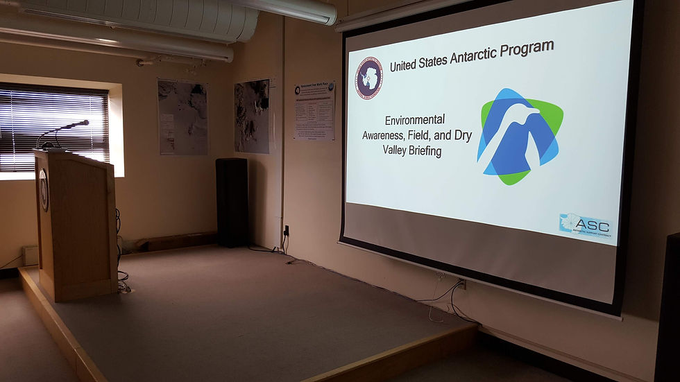
We are scheduled to fly out to WAIS Divide on January 2nd, so we are finishing up the final preparations. We have been extremely busy with preparations for the past few days (hence the absence of blog posts - sorry)... meeting with Flight Operations to schedule our flights, picking up all kinds of gear (generators, snow mobiles, tents, GPS, seismometers, etc. etc.), coordinating shipment of all our gear to WAIS Divide, and completing many trainings (including how to operate a crane, how to repair a snowmobile, how to drive the McMurdo Station trucks, environmental training, and many more).
Here are a few photos from our work and preparations the past few days:


Comments